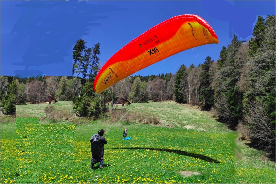
What are the real uses of GPS for paragliding?
The altitude tells us
- if we gained a few meters or just slowed down the descent in weak ascents.
- if we are high enough to cross a valley or arrive at the landing (of course, we must also take the wind into account).
What does the GPS bring us in addition?
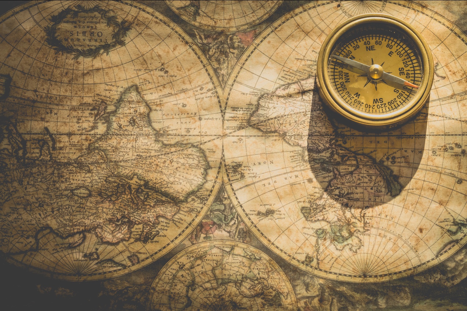
Like all GPS, it tells us where we are with a global map most often already loaded in the instrument. This is already quite interesting, especially during trips to unknown lands.
Airspace is also displayed, but requires control and updates so that it can be trusted.
Recent instruments with GPS offer a variety of functions, but the most important remains
ground speed
This information is almost as important as the altitude!
In paragliding flight, especially if you are far from the terrain, you often find that you do not advance….
If the ground speed indicated by the GPS is 60 km/h without accelerating, we can deduce that we are being pushed by a strong tailwind.
Conversely, with a ground speed of 15 km/h, we can deduce that the wind is head-on!
This is valuable for estimating the strength and direction of the wind before landing on land not equipped with windsocks.
GPS track recording
The GPS automatically records your route. The pilot does not have to intervene (except by activating the instrument!). Takeoff and landing are detected by the instrument.
After the flight
This allows you to relive and analyse your flight, to publish it for distance flight competitions, to share it on social media, to show off and taunt your pilot friends who did not have time off…
During the flight
By connecting the instrument via Bluetooth with a smartphone or if the instrument is equipped with a SIM card, the location can be transmitted in real time. This can be done in different ways.
The localisation “LIVE” is a poorly known and little used function. Yet, it is a security feature. Moreover, it’s nice to know where our pilot friends are, to pick them up or to know what time to prepare the meal!